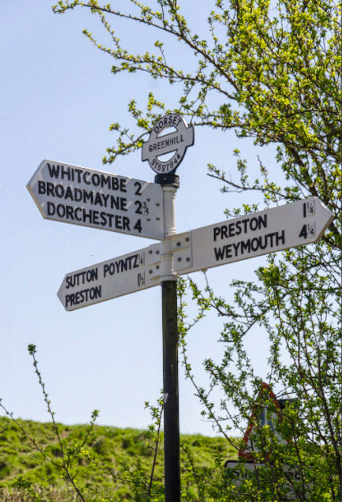
 We're sorry that the page you have tried to reach does not exist. As we have recently made significant changes to the site, it is likely that you are using a link for a page in the old website (if you arrived here using a link on our current website, it would help greatly if you could
Here is a Site Map for the new website, which we hope will help you to find the content you are looking for:
